Add the people who should hear from you if you're lost or stuck. They're saved only on this phone.
Help others
Riders near Reno, Moon Rocks and Pyramid Lake can sign up to get lost-rider alerts and help when someone's stuck nearby.
Not a replacement for 911. Cell signal is spotty in the backcountry: a text often gets through when a call won't.
📍 Near Me, anywhere in the U.S.
Find the closest hospitals, urgent care and free camping from wherever you are.
Tap the button to use your GPS.
🔥 Heat & Weather Alerts
Live National Weather Service warnings for where you are: extreme heat, wind, flash floods, fire, storms.
Summer heat rules: carry at least a gallon of water per person, ride early, rest in shade, and know heat-stroke signs: confusion, hot dry skin, no sweating. That's a 911 call.
🏥 Closest Medical
Life-threatening? Call 911 first.
⛺ Free Camping
Most BLM land allows free dispersed camping up to 14 days unless posted closed. Always check signs and fire restrictions.
Picked by Jon Jenkins. Tap Route me here for dirt-first directions.
📸 Jon & Courtney's ride videos: coming soon
Jon Jenkins and Courtney are working on getting e-mountain bikes so they can film their own rides around Moon Rocks, Pyramid Lake and Palomino Valley. Until then, tap Watch ride videos on any spot. Bike shop that can lend a demo bike? Ride with us
Moon Rocks (North Reno Recreation Area)
🏍️ 🛻 Dirt bikes, quads, side-by-sides, 4x4 rock crawling
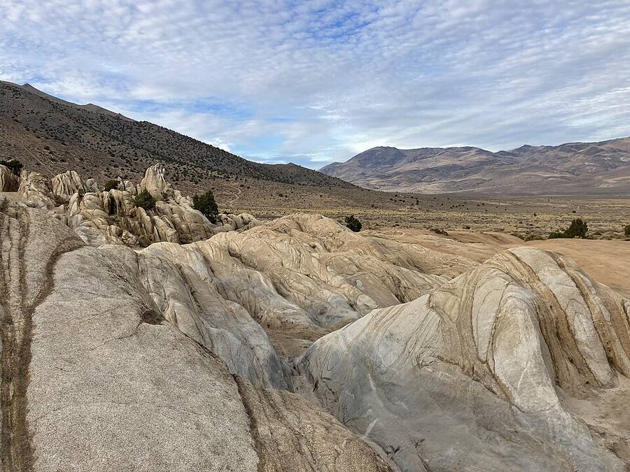
About 19,000 acres of BLM land with granite rock crawls, hill climbs and desert trails. Free. Dispersed camping, vault toilets nearby. Off NV-445 (Pyramid Hwy), left on Winnemucca Ranch Rd about 6.3 mi, left at the BLM sign onto Bedell Rd.
Know before you go: Nevada OHV sticker required for off-highway vehicles. Fire restrictions sometimes in effect. No open containers or fireworks.
Sponsor this spot. Your shop's name here for every rider headed to Moon Rocks. Ask Jon
Peavine Mountain
🚵 🏍️ 🛻 Mountain bikes, plus OHV roads
Right above northwest Reno. About 50 miles of non-motorized singletrack (Halo is a favorite) and a big web of motorized roads. Main bike trailhead: East Keystone, off N McCarran Blvd.
Know before you go: Some routes are bike/hike only, so follow the route markers. Hoge Road trail is closed until Oct 31, 2026 after the Hawk Fire.
Sponsor this spot. Your shop's name here for every rider headed to Peavine Mountain. Ask Jon
Peavine Maze
🏍️ Moto singletrack
About 22 miles of moto-legal singletrack on Peavine's west side near Verdi. Smooth flow plus rocky technical sections in pines and granite boulders. Intermediate to advanced.
Know before you go: Forest Service land. Stay on marked trails.
Sponsor this spot. Your shop's name here for every rider headed to Peavine Maze. Ask Jon
Pyramid Lake
🛻 Scenic drives and camping
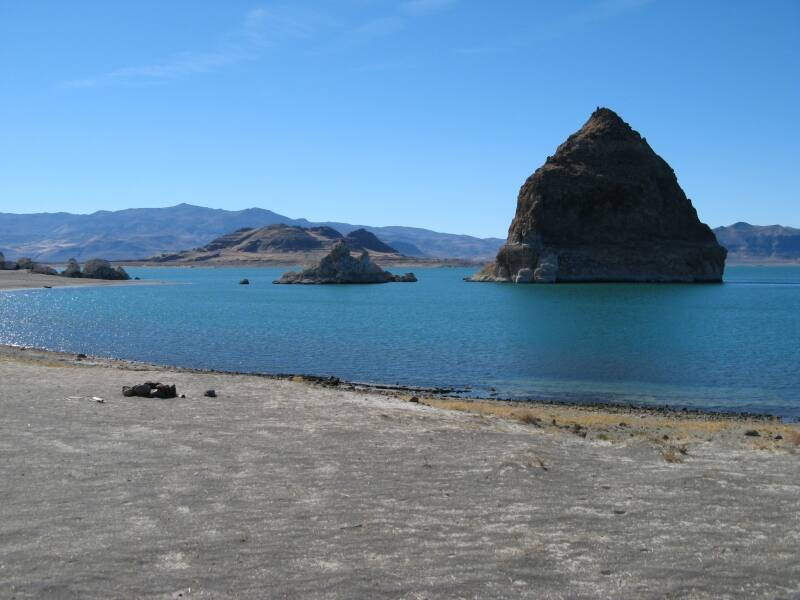
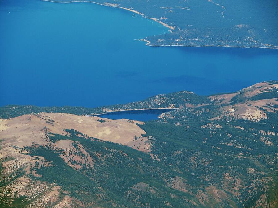
Stunning desert lake on Paiute tribal land, about 35 miles northeast of Reno. Ranger Station is in Sutcliffe on SR 445.
Know before you go: Tribal permit required for all non-members: day use $25, camping $35 per vehicle. No motor vehicles off established, marked roads, and 15 mph unless posted. Buy at pyramidlake.us/permits.
Sponsor this spot. Your shop's name here for every rider headed to Pyramid Lake. Ask Jon
Truckee, Donner & Tahoe
Over the hill but part of our backyard. California rules apply here.
Prosser Hill OHV Area (Truckee)
🏍️ 🛻 Dirt bikes, quads, 4x4s
Paved staging area about 3.7 miles north of I-80 on Highway 89, with a loading ramp and restrooms. About an 8 to 9 mile motorcycle loop to the top of Prosser Hill with steep, rocky sections, plus miles of OHV roads north into the Sagehen Hills.
Know before you go: Tahoe National Forest. Stay on designated roads and trails, and approved spark arrestors are required. Out-of-state OHVs may need a California non-resident OHV permit. Close to homes, so keep noise down.
Sponsor this spot. Your shop's name here for every rider headed to Prosser Hill. Ask Jon
Donner Lake Rim Trail
🚵 Mountain bike singletrack
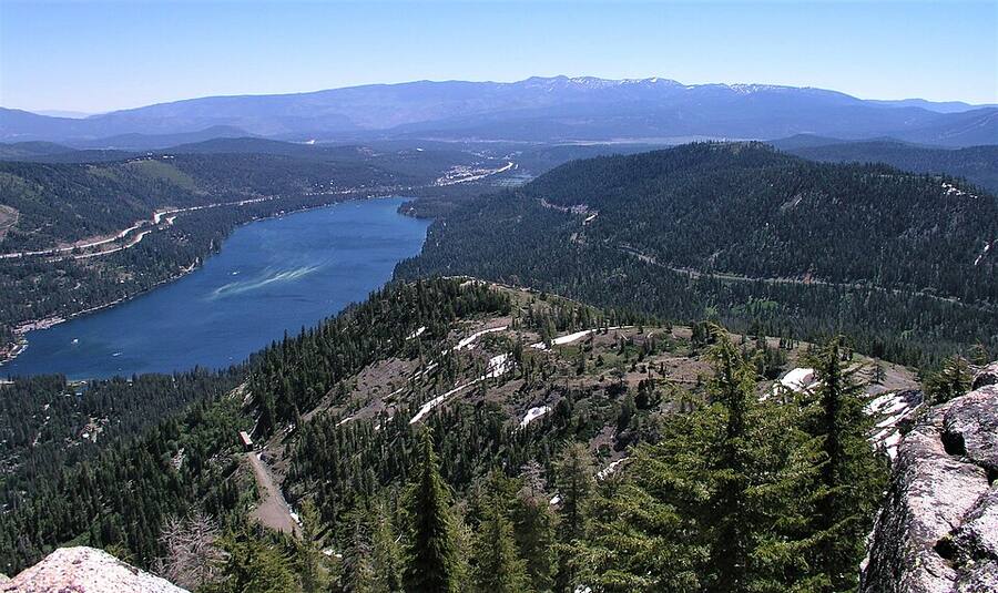
Singletrack high above Donner Lake with big views of the lake and Sierra Crest. Bikers can start from Glacier Way in Tahoe Donner or Castle Valley at Donner Summit. Snow-free usually summer into fall.
Know before you go: No motorized vehicles. Bikes yield to hikers and horses. No open fires. Some sections are hiker only, so follow trailhead signs.
Sponsor this spot. Your shop's name here for every rider headed to Donner Lake Rim Trail. Ask Jon
Flume Trail (Lake Tahoe, NV)
🚵 Mountain bike classic
The famous ride 1,600 feet above Lake Tahoe. Start at Spooner Lake State Park, climb to Marlette Lake, then ride the 4.4-mile flume singletrack. About 14 miles one way. Intermediate to advanced, with big drop-offs.
Know before you go: Spooner Lake park fee is $10 per NV vehicle or $2 per bike. Tahoe Rim Trail connections are bikes on even days only. Flume Trail Bikes in Incline runs a $22 shuttle.
Sponsor this spot. Your shop's name here for every rider headed to Flume Trail. Ask Jon
Rubicon Trail (West Shore Tahoe)
🛻 🏍️ Hardcore 4x4, ATVs, moto
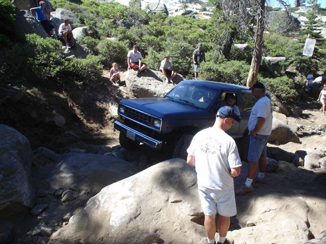
World-famous 22-mile rock-crawling route from Georgetown to Lake Tahoe. The Tahoe side starts at the McKinney-Rubicon trailhead near Tahoma. Rated difficult to technical.
Know before you go: Built rigs only: travel in pairs, carry a winch and recovery gear. No cell service, ham radio advised. Wood and charcoal fires not allowed, and a free California campfire permit is needed for stoves.
Sponsor this spot. Your shop's name here for every rider headed to Rubicon Trail. Ask Jon
Rules change. Check the official page for closures and fire restrictions before you ride.
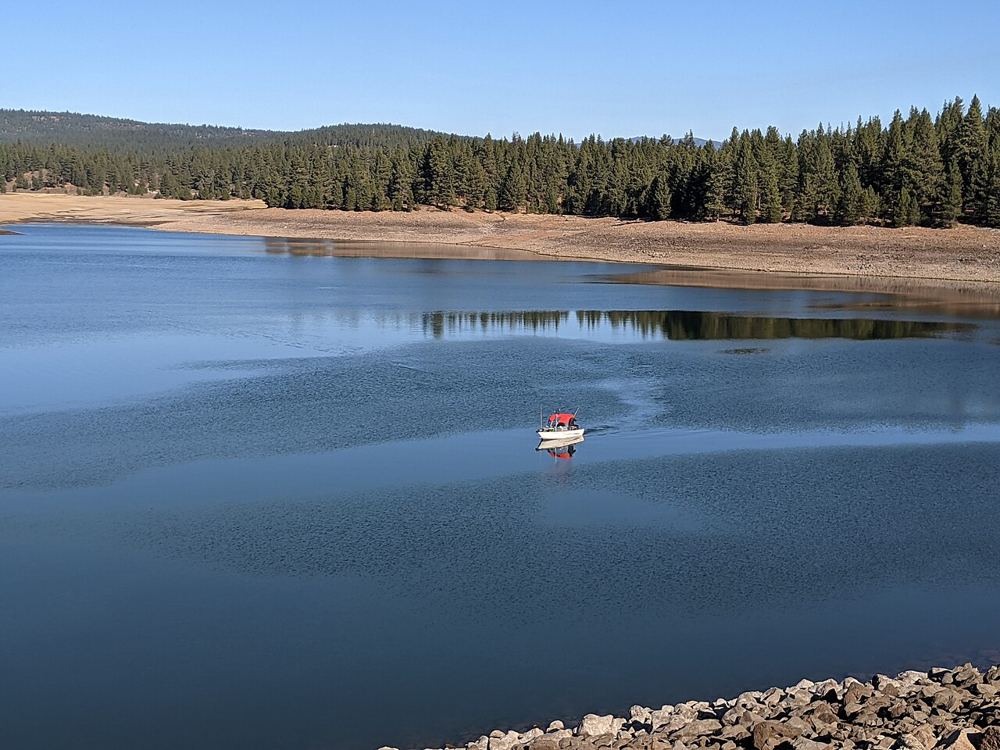
Spot photos via Wikimedia Commons: Moon Rocks, Pyramid Lake & Rubicon (public domain); Donner Lake (CC BY 2.0); Marlette Lake (CC BY-SA 2.0); Peavine Mountain by Ken Lund (CC BY-SA 2.0); Prosser Creek Reservoir by Dicklyon (CC BY-SA 4.0); desert playa and Palomino Valley by BLM (public domain); opening mountain-bike photo by BLM Nevada, Lincoln County (public domain).
Emergency: call 911. No voice signal? Washoe County takes Text to 911. Texts don't send your location, so the Lost tab puts your GPS in the text for you.
Tell someone where you're riding and when you'll be back. If you're not home by then, they know where to send help.
🧭 Ride Smart
• Tell someone your plan before you go • Carry extra water, food and a jacket • Check wind and sunset before heading out • Don't ride remote spots alone • In dead zones, carry a satellite messenger or use your phone's satellite SOS
Reno & Sparks Police and Fire LIVE
Volunteer scanner feed from Broadcastify. A short ad may play first.
Local riders open this app to plan dirt bike, mountain bike and 4x4 rides around Reno, Moon Rocks, Pyramid Lake, Truckee and Tahoe. Put your shop, guided rides, rentals or repair service in front of them.
Spots: featured shop on the ride screen, scanner page banner, or a pin on the map.
Keep the app free
Built in Reno by local rider JON JENKINS. If this app helped you ride safer, toss Jon a tip.
Want a ride spot, trail or road added? Send it in the form above. Built in Reno by local rider Jon Jenkins.
Ride safe out there
The SOS and location tools need cell signal and your phone turned on. This app does not call 911 for you and is not a replacement for 911 or a satellite messenger.